Wednesday 25 February 2015

Bouldner

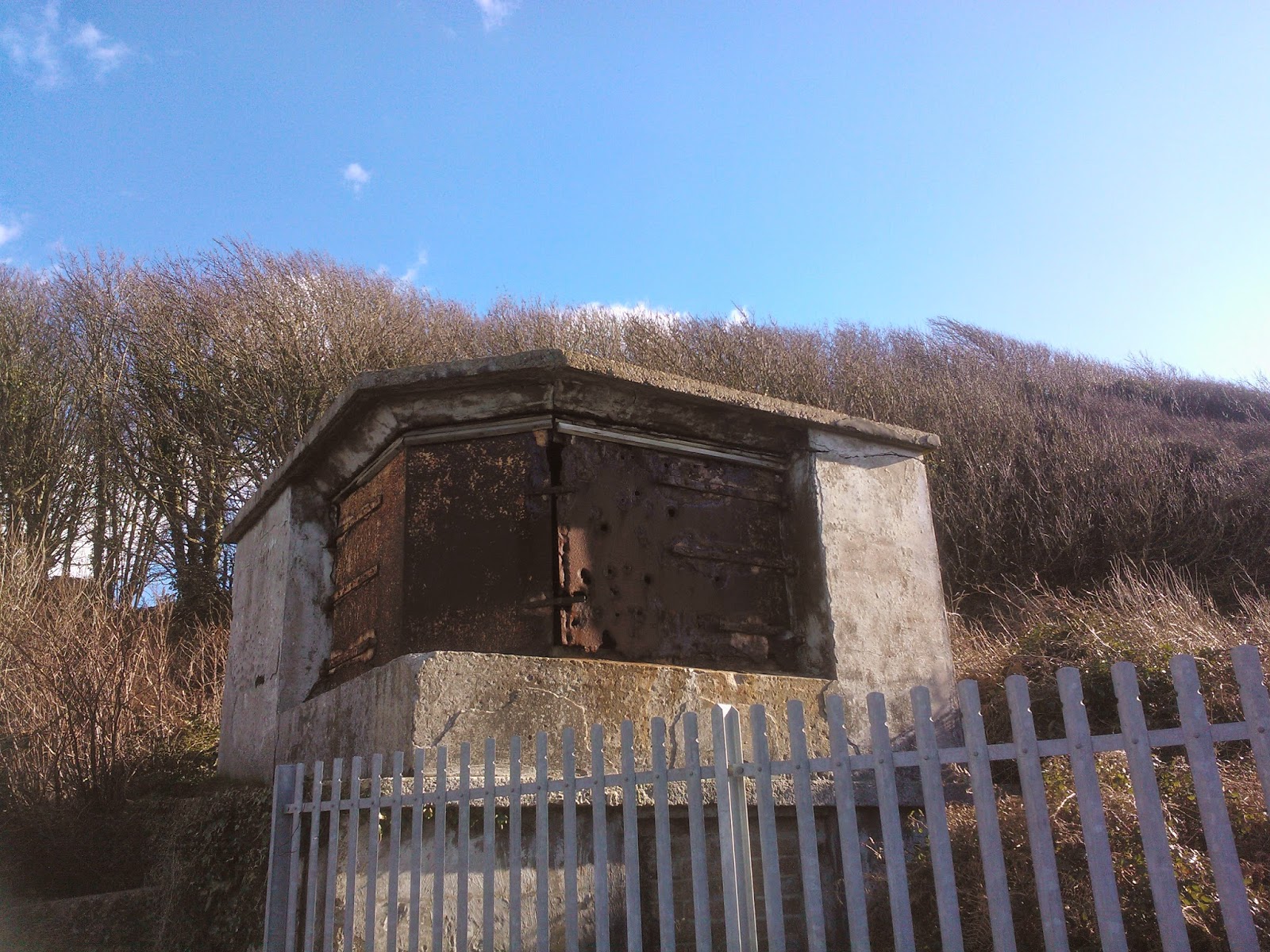
More of a slither than a walk today, and quite brief at that. I parked at Bouldner viewpoint car park, then turned left heading away from Yarmouth, taking the second footpath on the left after about 400 yards. This led down a lane past some lovely houses, then turned right by the sea. the path was squelchy to say the least, and I slithered and squelched carefully for some time past a pleasant secluded, pebbly beach and over a boardwalk across a reed filled pond. The path led uphill here, still extremely wet and muddy, passing through rather lovely woods and coming out on a marshy patch of land covered in flowering gorse and with lovely views across the western Solent. At the top of the hill were two buildings which were the remains of a battery, presumably from WW2, so I headed towards them. I didn't get quite as far, but headed through a gate back into the woods and took a slightly drier route back to the path. I squelched back until I got to a crossroads, and left the coastal path, carrying on along another footpath until I came out on the main Yarmouth road, which I followed back to the car park.

I shall definitely go back when the weather is drier and walk further, perhaps catching the bus to Bouldner then walking to Shalfleet. Lovely views and countryside.

Bouldner Beach

Boardwalk

View across the heath and Solent


Route: http://gb.mapometer.com/walking/route_4026359.html
Distance: 2 miles
Footpaths: Coastal Path, S1, S43, S44

Saturday 21 February 2015

Colwell Bay

Just a short walk today, as I had a couple of spare hours to fill. I parked in Colwell Chine Road by the car park (but not in it as the lane was free and the car park wasn't!). I strolled down the lane to the sea wall and turned left to walk to Warden Point, past a restaurant closed for the winter and a row of brightly painted beach huts. Just past a WW2 gun emplacement, or the remains of Warden Point Battery, the path was closed off due to a bad landslip. Here there was a lovely view to the distant Needles which I stopped and admired before turning back and walking along the wall until I came to a footpath on my right; this was in reasonable repair, and had steps and a makeshift bridge of sleepers and led up the cliff. At the top I turned right and strolled past some more huts until the path ran out. I'd gone wrong again, taking the wrong path from the beach. I retraced my steps, following the seawall until I had to duck under a railing and scramble along the rocks that made up the cliff protection.

Warden Point

Beach huts at Colwell Bay


The rocks led to the beach, which was sandy and backed by cliffs of blue slipper clay, and interspersed with groynes. There was a flock of oystercatchers sunning themselves on the sand, who flew off as I approached. The view across the Solent was glorious in the February sunlight, with blue skies and fluffy clouds above and Hurst Castle on one side and Fort Albert on the other. Another scramble over rocks brought me to a slipway that led up to Brambles Chine and the Coastal Path.

At the top of the Chine I turned left on the Coastal Path, along a wet path between hedges that came out in a holiday camp, and led through it. This brought me out after a while on Monks Lane, so I turned left and walked as far as the stile that I used last week. I turned round and retraced my steps through the holiday camp then followed the coastal path past Brambles Chine and up to the main road, passing Brambles Farm and barking dogs on the way. Turning right at the road I walked along until I got to Madeira Road, turned right here and followed the road back to Colwell Bay and round to the car.

This was a lovely walk with good views and plenty of fresh air to blow away the cobwebs. I must learn to map read though!

Distance: 2.7 miles
Footpaths: Coastal Path, F10, F13, F67,
Route: http://gb.mapometer.com/walking/route_4023410.html

Sunday 8 February 2015

Fort Victoria

Beautiful day today, glorious bright blue February skies. I drove to Fort Victoria then walked from the car park, round the front of the car park and joined a path through the woods which joined the coastal path after a few hundred yards. Turning right at the top I followed the coastal path, and after a little while came to a viewpoint. Here was the best view across the Solent to Hurst Castle I have seen, so I stopped and sat a while on the bench and admired it. I carried on and followed the path almost as far as Fort Albert (private road), then followed a lane until I came to a stile on the left. I climbed over this and followed the footpath across the fields until it came out at a cul de sac, so I turned right then left and followed the road back to Fort Victoria. Pleasant Sunday afternoon stroll.

Route: http://gb.mapometer.com/walking/route_4014492.html

Distance 2.5 miles

Footpaths: F3, coastal path

View across the Solent to Hurst Castle