Friday, 10 April 2015

St Helen's, Nettlestone and Bembridge Harbour

Beautiful day today so we headed off to St Helen's, parked near The Green (free, avoided car park!) then headed west to go down Field Lane heading across fields to get to Attrill's Lane. More fields followed, before heading through a farmyard and heading right just before a bridge. Another couple of fields followed.

After a while we arrived at the back entrance of the Priory Bay Hotel, misread the instructions and wandered into the grounds where we found an interesting clock tower. We headed back, found the footpath (which brought us out at the other end of the Hotel golf course), passing a cunningly disguised mobile phone mast, walked across a field and came out on the road leading to the Duver beach, where we paused to photograph the ruined church tower and buy an ice cream at the cafe. Finally we walked along a footpath that led across a heath to the old mill pond by Bembridge Harbour, The path led along the old mill dam wall and then back up the hill to St Helen's. 

This was a lovely walk on a gloriously sunny spring day; not too taxing for out of practice walkers.  A much better description of the route can be found in "Twelve Favourite Walks on the Isle of Wight" published by the Isle of Wight Area of the Ramblers' Association.

Clock Tower

Phone Mast

Duver Church Tower

Distance: Approx: 4.5 - 5 miles
Route: http://gb.mapometer.com/walking/route_4057886.html
Footpaths: Coastal path, R77, B12, R62, R71, 

Monday, 2 March 2015

Yaverland

Another quick walk today, to blow away the cobwebs after work. I parked in Meadow View, Yaverland as it was free, and turning right at the end, walked briskly along Culver Parade to Sandown Pier. En route I passed the Isle of Wight Zoo, famous for its tigers, Dinosaur Isle, famous for its prehistoric bones and animatronic dinosaurs, and a multitude of slightly faded Victorian hotels. The sun was fading fast, but gleaming pink on top of the tall, gray storm clouds, which luckily passed by unspent. The tide was out and many dogs and their owners were walking on the wide sandy beach. The view in one direction was the towering Culver cliff, and in the other the town of Shanklin, with its beach and lift. Directly ahead was the English Channel with a scattering of container ships on the horizon, lights blinking in the gathering dusk.
 
Distance: 2.4 miles
Footpaths: Coastal path.

Wednesday, 25 February 2015

Bouldner

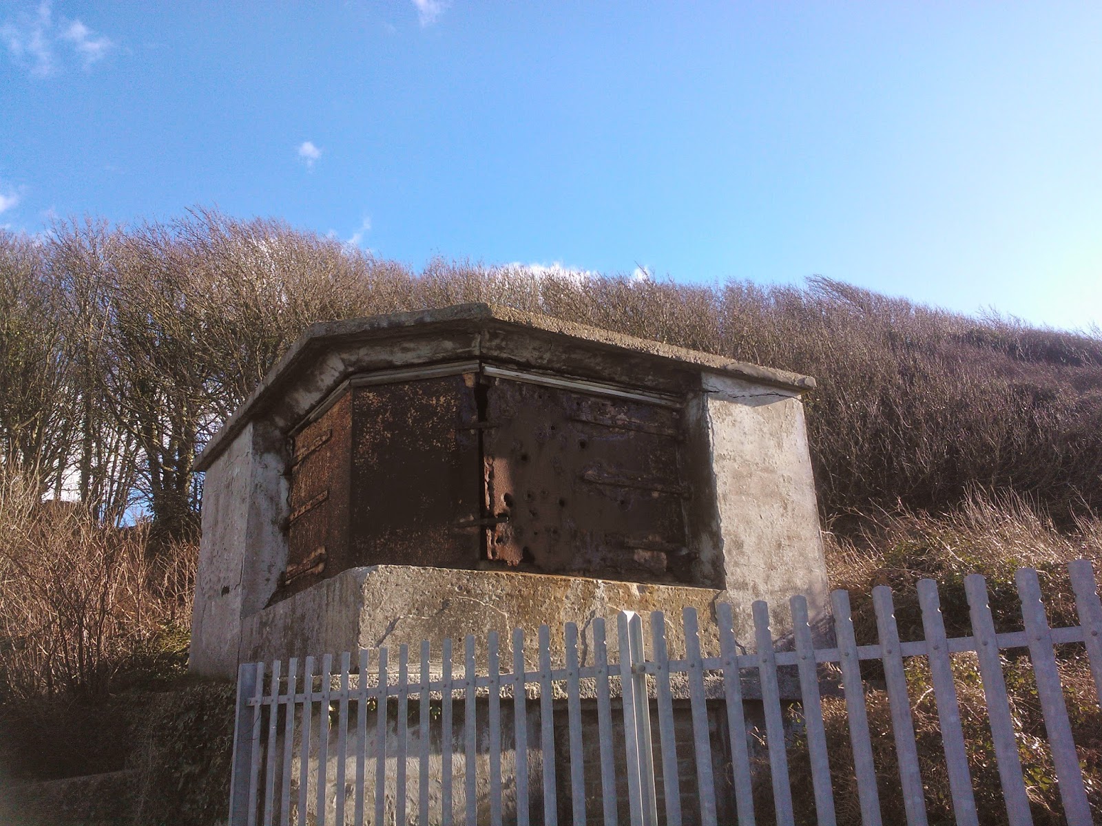
More of a slither than a walk today, and quite brief at that. I parked at Bouldner viewpoint car park, then turned left heading away from Yarmouth, taking the second footpath on the left after about 400 yards. This led down a lane past some lovely houses, then turned right by the sea. the path was squelchy to say the least, and I slithered and squelched carefully for some time past a pleasant secluded, pebbly beach and over a boardwalk across a reed filled pond. The path led uphill here, still extremely wet and muddy, passing through rather lovely woods and coming out on a marshy patch of land covered in flowering gorse and with lovely views across the western Solent. At the top of the hill were two buildings which were the remains of a battery, presumably from WW2, so I headed towards them. I didn't get quite as far, but headed through a gate back into the woods and took a slightly drier route back to the path. I squelched back until I got to a crossroads, and left the coastal path, carrying on along another footpath until I came out on the main Yarmouth road, which I followed back to the car park.

I shall definitely go back when the weather is drier and walk further, perhaps catching the bus to Bouldner then walking to Shalfleet. Lovely views and countryside.

Bouldner Beach

Boardwalk

View across the heath and Solent


Route: http://gb.mapometer.com/walking/route_4026359.html
Distance: 2 miles
Footpaths: Coastal Path, S1, S43, S44

Saturday, 21 February 2015

Colwell Bay

Just a short walk today, as I had a couple of spare hours to fill. I parked in Colwell Chine Road by the car park (but not in it as the lane was free and the car park wasn't!). I strolled down the lane to the sea wall and turned left to walk to Warden Point, past a restaurant closed for the winter and a row of brightly painted beach huts. Just past a WW2 gun emplacement, or the remains of Warden Point Battery, the path was closed off due to a bad landslip. Here there was a lovely view to the distant Needles which I stopped and admired before turning back and walking along the wall until I came to a footpath on my right; this was in reasonable repair, and had steps and a makeshift bridge of sleepers and led up the cliff. At the top I turned right and strolled past some more huts until the path ran out. I'd gone wrong again, taking the wrong path from the beach. I retraced my steps, following the seawall until I had to duck under a railing and scramble along the rocks that made up the cliff protection.

Warden Point

Beach huts at Colwell Bay


The rocks led to the beach, which was sandy and backed by cliffs of blue slipper clay, and interspersed with groynes. There was a flock of oystercatchers sunning themselves on the sand, who flew off as I approached. The view across the Solent was glorious in the February sunlight, with blue skies and fluffy clouds above and Hurst Castle on one side and Fort Albert on the other. Another scramble over rocks brought me to a slipway that led up to Brambles Chine and the Coastal Path.

At the top of the Chine I turned left on the Coastal Path, along a wet path between hedges that came out in a holiday camp, and led through it. This brought me out after a while on Monks Lane, so I turned left and walked as far as the stile that I used last week. I turned round and retraced my steps through the holiday camp then followed the coastal path past Brambles Chine and up to the main road, passing Brambles Farm and barking dogs on the way. Turning right at the road I walked along until I got to Madeira Road, turned right here and followed the road back to Colwell Bay and round to the car.

This was a lovely walk with good views and plenty of fresh air to blow away the cobwebs. I must learn to map read though!

Distance: 2.7 miles
Footpaths: Coastal Path, F10, F13, F67,
Route: http://gb.mapometer.com/walking/route_4023410.html

Sunday, 8 February 2015

Fort Victoria

Beautiful day today, glorious bright blue February skies. I drove to Fort Victoria then walked from the car park, round the front of the car park and joined a path through the woods which joined the coastal path after a few hundred yards. Turning right at the top I followed the coastal path, and after a little while came to a viewpoint. Here was the best view across the Solent to Hurst Castle I have seen, so I stopped and sat a while on the bench and admired it. I carried on and followed the path almost as far as Fort Albert (private road), then followed a lane until I came to a stile on the left. I climbed over this and followed the footpath across the fields until it came out at a cul de sac, so I turned right then left and followed the road back to Fort Victoria. Pleasant Sunday afternoon stroll.

Route: http://gb.mapometer.com/walking/route_4014492.html

Distance 2.5 miles

Footpaths: F3, coastal path

View across the Solent to Hurst Castle

Thursday, 1 January 2015

Yarmouth

New Year's Day, so a picnic was called for. Obviously. We hopped into the car and drove to Bouldner Viewpoint car park, then followed a steep path down to the seawall. I had hoped to turn right at the bottom and stroll along to Hampstead, but the seawall ended abruptly after 100yards and it wasn't possible to get to the beach. We turned round and walked along the wall to Yarmouth Common, then turned uphill, then right along a narrow street lined with old and interesting houses and continued until we got to the town square. Being in need of a picnic, we located the bus shelter by the ferry terminal and sat and ate. The weather was a bit cold, damp and drizzly to sit outside unfortunately. After lunch we had a cuppa at The Gossips Cafe at the foot of the pier, before heading back to the car, this time following the main road from the common. Pleasant walk.

Distance: 2 miles
Route: http://gb.mapometer.com/walking/route_3988412.html

Saturday, 6 September 2014

Chessell Pottery

My Mum won a prize of 'tea for two' at Chessell Pottery and invited me along. We opted for the savoury tea, and had homemade cheese scones with butter, homemade chutney, cheddar and Gallybagger cheese. And a large pot of tea. Delicious! Afterwards we pottered in the gift shop and admired the pottery, bought some bits and pieces then left. As we were in the vicinity we went to Winkle Street, parking just up the road by Calbourne Church. The church was open so we went in, as neither of us had visited before. This is a very old church, around 800 years in places, and in desperate need of renovation. This is being done, but there were obvious signs of age and deterioration. That being said, it was a lovely church, quiet and peaceful with plenty of history and interesting architecture.
 
We wondered down the road to Winkle Street, which has a stream, the Caul Bourne, running down one side with little private bridges crossing it, and a row of (mostly) thatched cottages opposite. I think that is what people have in mind when they say picturesque! Very pleasant.
 
Calbourne Church 

Winkle Street